Chapter 20, "Mount Baker"
New Stairs and a Route Detour
There are two major changes to the Mount Baker stairway walk: First, a new set of stairs replaces one steep (sometimes slippery) walkway along this walk. Second, the route beneath the I-90 bridge at the edge of Lake Washington is now blocked by Light Rail construction, so we're providing a workaround, described below. The detour includes nice new stairs and sights, while adding about a half-mile to the original 2.4 miles.
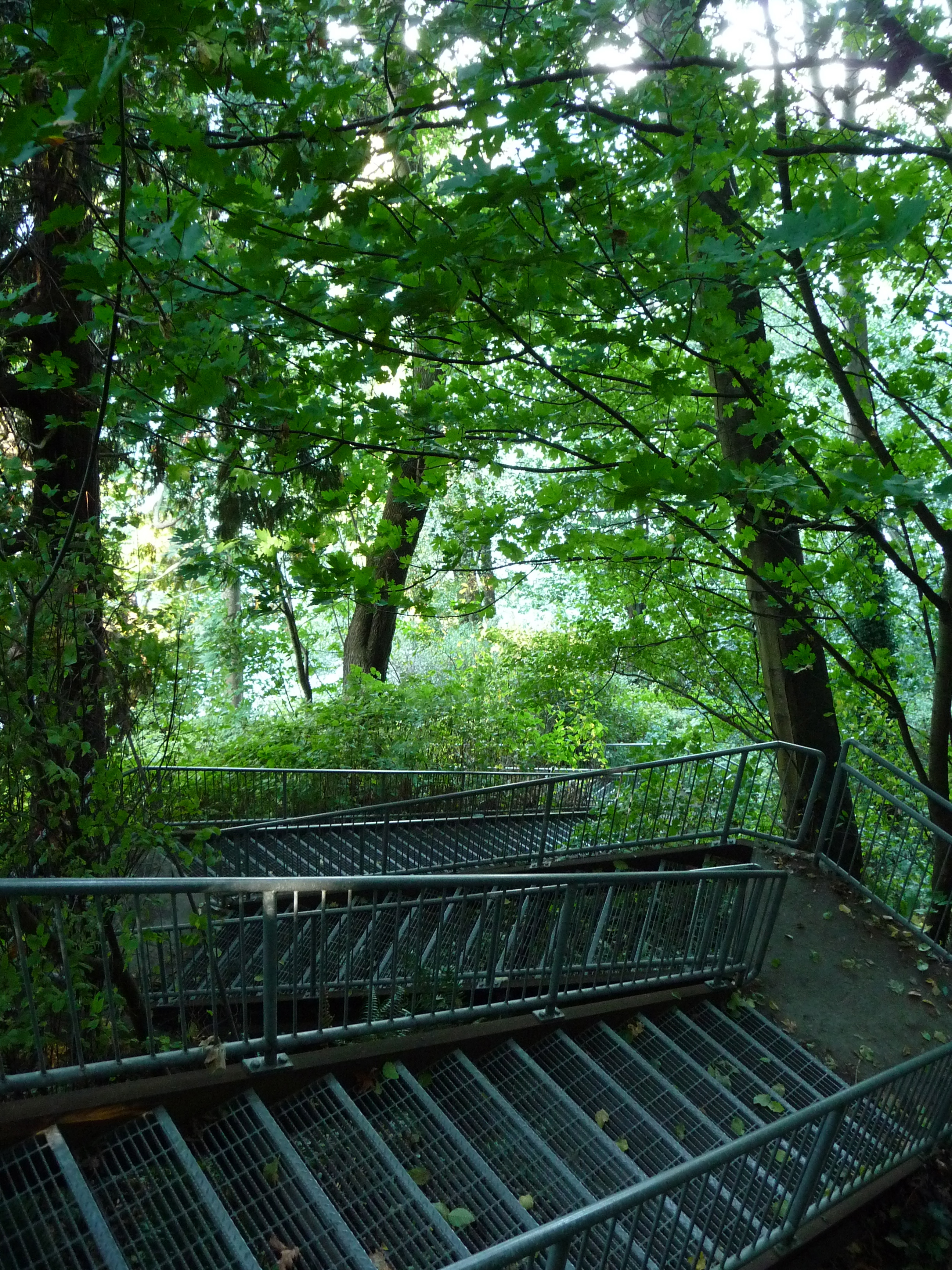
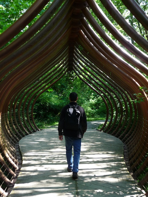
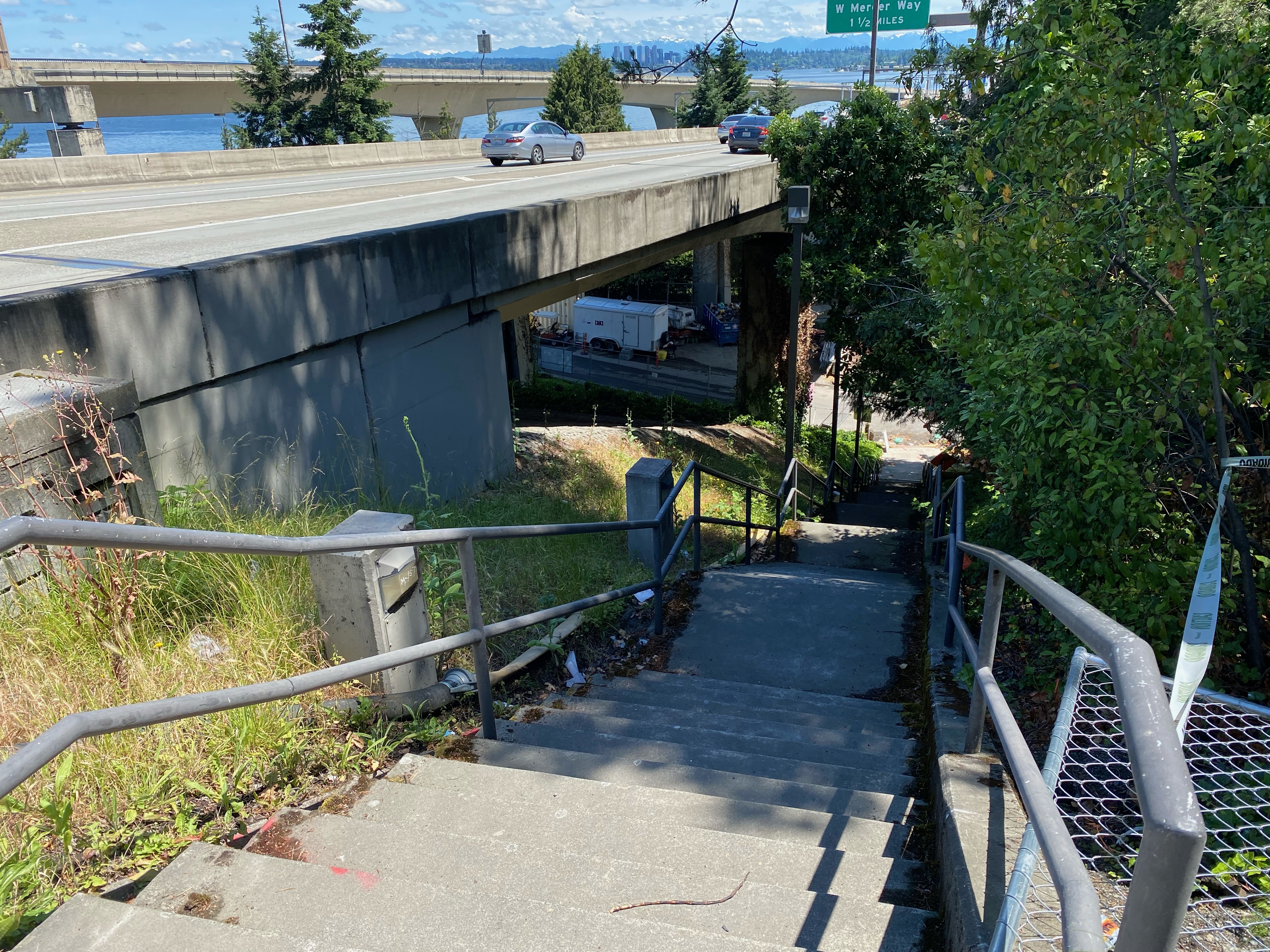
We'll start with the new stairway, on S Atlantic Street steps between 32nd and 33rd Avenue S, almost midway through the route. Here, the book describes a section where you head down what looks like a long private driveway to find some short, curving steps followed by a steep walkway. Not long ago the steep, sometimes slippery walkway was replaced entirely with stairs. Now it's much easier to navigate under wet conditions!

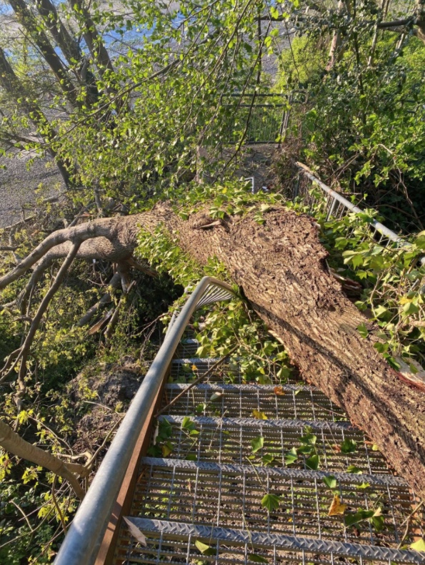
After that comes the detour: reader Christen reminded us about the Light Rail construction project across Lake Washington which has, for the foreseeable future, blocked our existing route beneath the I-90 bridge. If you still want to follow the existing stairway route down the Atlantic and Day Street stairways to the edge of Lake Washington, here's a workaround that takes you on a northerly loop to rejoin the route near the East Portal Viewpoint. It adds about a half-mile to the original distance.
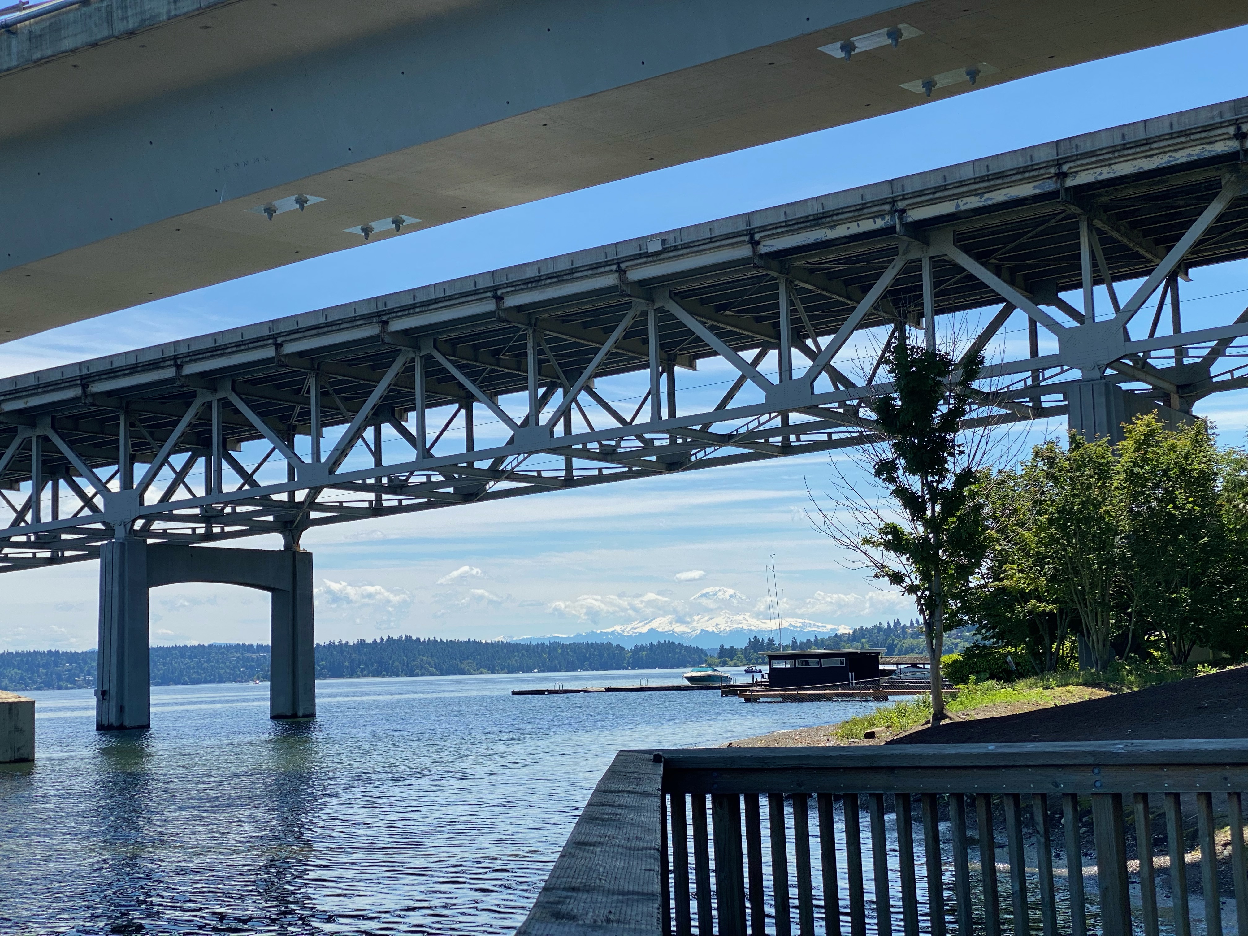
At the bottom of the lower Day stairs, walk past where the construction fencing blocks your progress to the left under I-90 as directed in the book (see below). Instead, continue straight toward the lake, across Lakeside Avenue to South Day Street Park, which is mentioned in the book as a quick side-trip. From here, you can take a break to enjoy the views across Lake Washington, gawk at the massive bridge overhead, and when weather allows, get a good view of Mt. Rainier to the south. Continue with the detour directions after the pictures below.
The route to the left at the stairway bottom is blocked for now
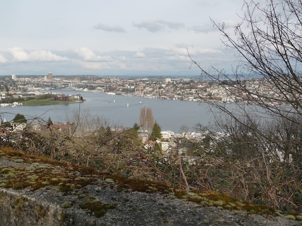
View south from South Day Street Park
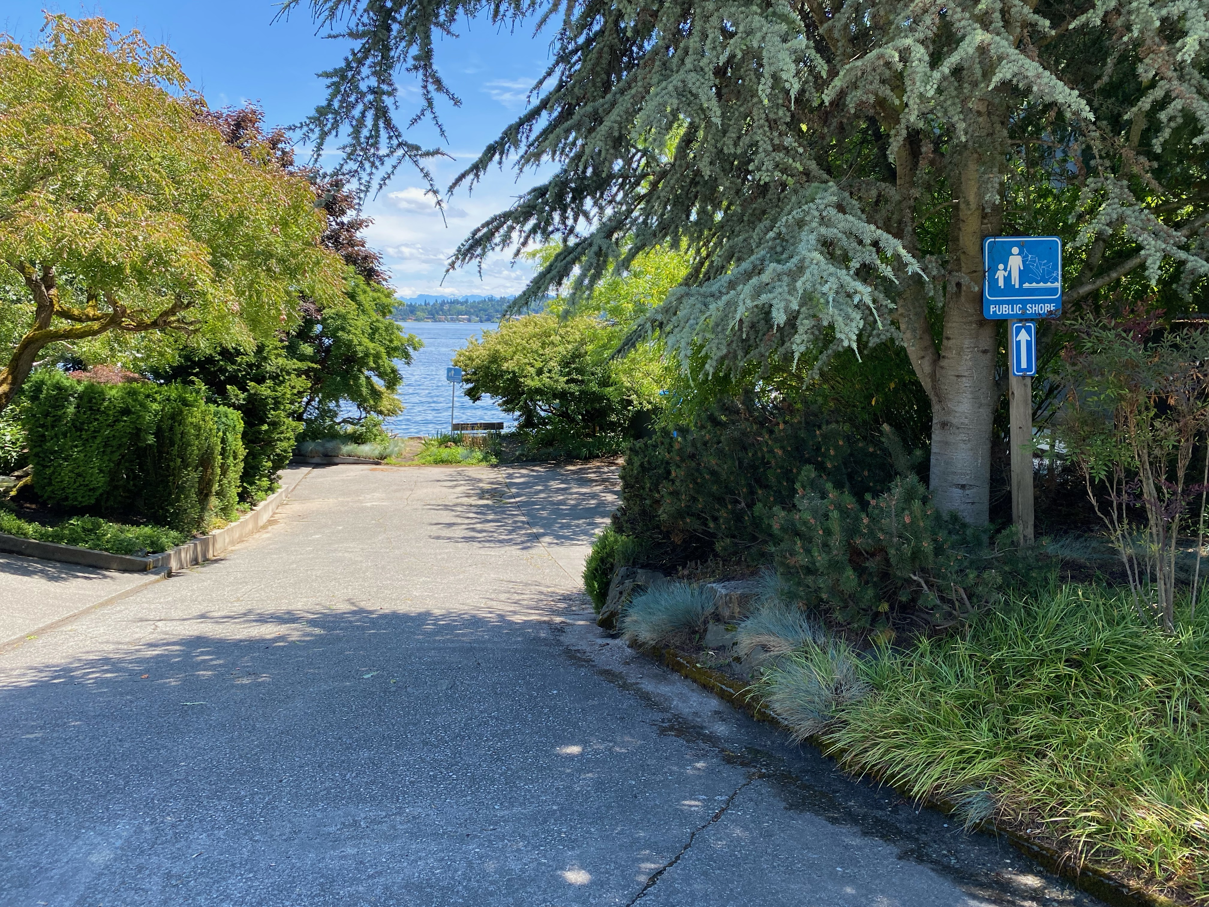
From here, walk north on the sidewalk next to Lakeside Avenue. At short, regular intervals along the way you'll encounter three of Seattle's public shoreline street-ends, marked by "Public Shore" signs. The first of these, the South Judkins Shoreline Street End, comes after you pass a few buildings on the right. That's soon followed by the South Norman Shoreline Street End, which is worth ducking in to see. It has a nice bench where you can contemplate views of the lake. The third shoreline street-end, the S Charles Street End, is where you'll turn up the hill away from the lake, following the S Charles stairway (58 steps up) pictured below.
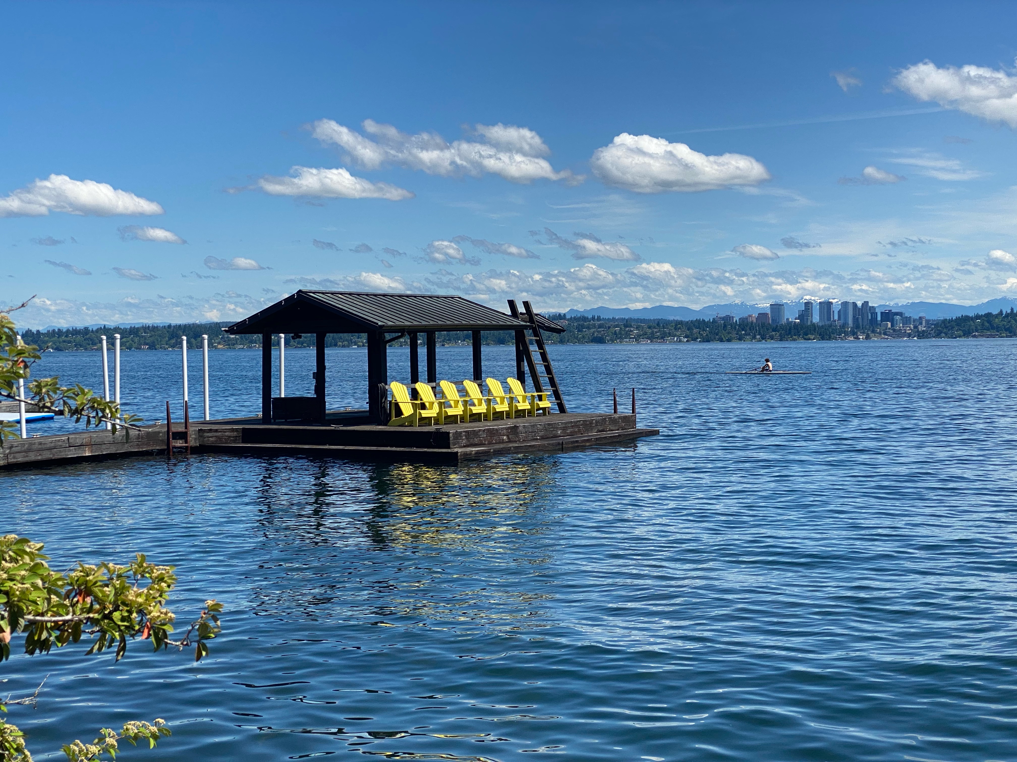
South Norman Shoreline Street End
View from the S Norman Shoreline Street End
S Charles Stairway
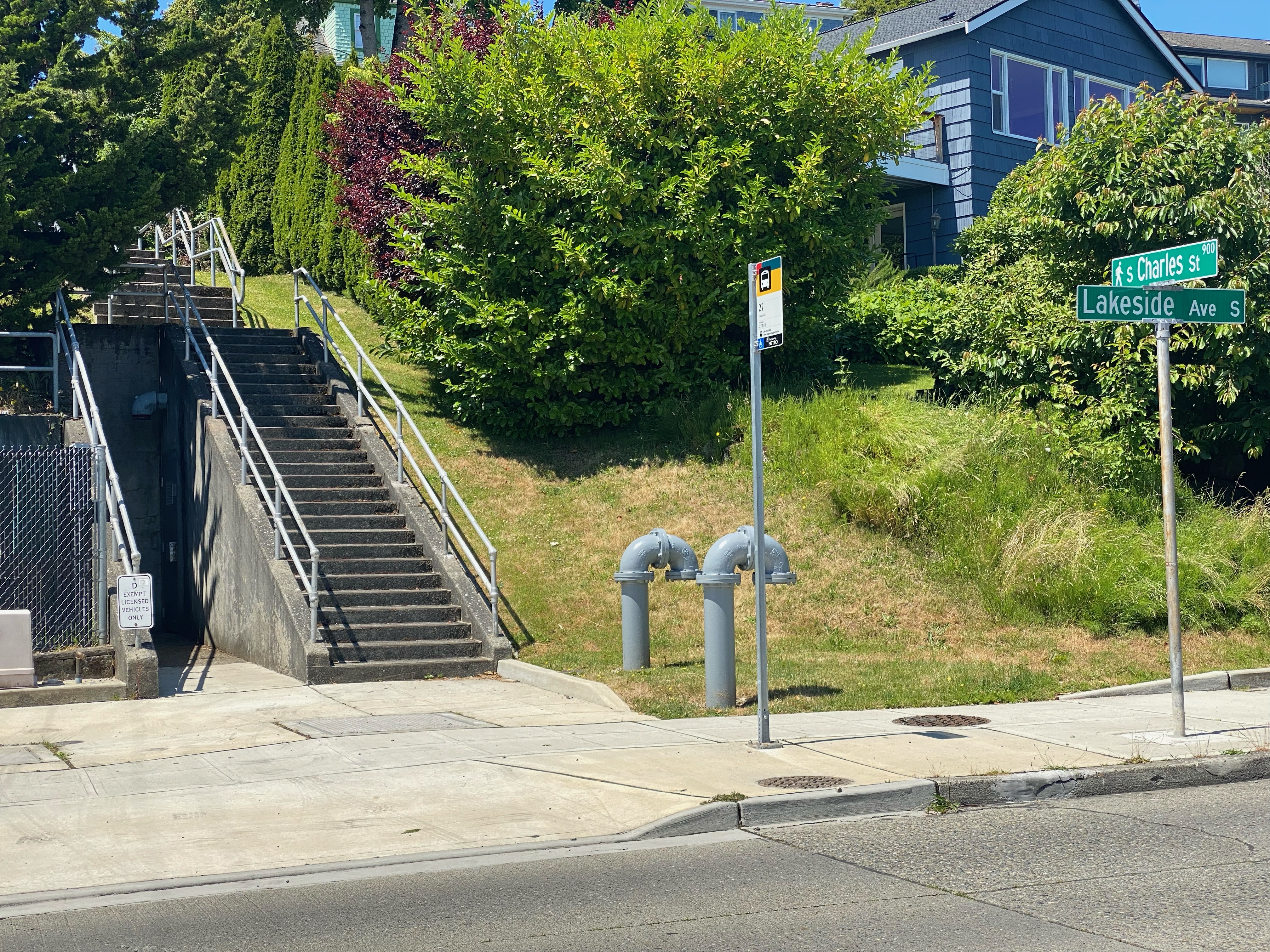
Head up the S Charles Stairway (after carefully crossing the street). At the top of the stairs continue up S Charles to the next block. Turn left to walk south along the lower level of Lake Washington Boulevard. Where the two levels of the street merge at S Judkins Street, keep walking south on Lake Washington Boulevard one more block to S Irving Street. At this point you're back on the route. We recommend that you continue a bit farther south on Lake Washington Boulevard to reach the East Portal Viewpoint with its great views of the I-90 Floating Bridge and beyond.
At this point, rejoin the book's directions to the upper Irving stairs.
 Jake Jaramillo